Apps for the Army Competition:
1 March - 15 May 2010 (App Awards announced at LandWarNet, August, 2010) |
| I was fortunate to have a team of a few FA53 snowbirds to assist with getting 4 apps developed
for the Apps for the Army competition. I will update this site as we have more information (about
where to download the apps and how we did in the competition.
I am very proud of each of the four apps we submitted. Each serves a separate purpose and is distinct
(and provocative) in its own way. |
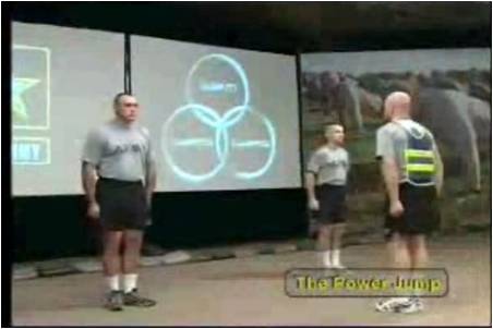
Physical Readiness Training Circular App |
On iPhone (completed 15 May 2010, release date 29 July 2010)
This one came about in an interesting way. A General was at a meeting and made a comment
about how much he would like to see this new training circular put into an app. Word got
back to us, so we did it. When the General came to visit our post, we scrambled to get a
decent product to show him - and the result was very good. We wanted to take a stab at what
we though the next generation of Field Manuals and Training Circulars could look like, and
parts of this app give some areas to discuss as we move forward. There is a lot of complex
computing language that went into the workouts -- unfortunately, that will probably get lost
because it has videos (and people like the videos).
|
|
|
|
|
|
|
|
|
|

Video View - 35 of the exercises have videos
|
|
Mobile Learn App |
On iPhone (completed 15 May 2010, release date 29 July 2010)
This was the first app and the most complex code. We figured that if we started with a difficult
app that would challenge our limits - but would be something we can add to other apps later
on, that would be a great benefit. So with this app, we have a series of quizzes that are
in the phones plist file (an XML file) and can eventually take the form of other XML files.
I think we will use this module in other apps - particularly the Recognition of Combat Vehicles
app we are working on for the iPad.
|
|
|
|
|
|
|
|
|
|
|
|
|
|
|
SIGACTS CPOF App |
On iPhone (completed 15 May 2010, release date 29 July 2010)
Again, we took a slightly provocative approach. We wanted to talk about what applications
that connect into military systems should look like, and to begin the discussion about what
an API can do for a programmer. When this app started, we were going to make up data with
common events experienced in deployed zones, but we were worried that (even with the UNCLASSIFIED)
banner across the top, someone might think we used real data, so we chose to use data from
Normandy, June 6th, 1944.
|
|
|
|
|
|
|
|
|
|
|
| |
Fort Gordon Post Locator App |
On iPhone (completed 15 May 2010, release date TBD)
The last of the 4 apps is the one we expect the most debate on -- but also the most downloads.
When the military started extricating itself from the Internet in the latter half of the
1990s, one casualty was online maps. When I was visiting Fort Monroe in January, I needed
a hair cut and searched for the barber shop through my phone's web browser and was able to
identify that one was on post, but couldn't find it. After driving around for 30 minutes
and making a handful of phone calls, I finally found it. I have had to PCS into a number
of posts and I know that my experiences are shared with a lot of Soldiers and family members.
So, we took publicly available maps that were commissioned for print by our local PAO
office, and then used Google Maps and the Internet to fill in the rest of the data. We intentionally
took the approach of taking public information (instead of "plugging" in all the grids) and
ultimately came up with an app that has 170 locations. Of the apps we made, this is the one
that I would consider charging for (and would definitely download if I were heading to an
unfamiliar post). Paying 99 cents (or $1.99) would be worth it for every military post.
And, we have a funny story about a squirrel now.
Second Place (Location Aware Category)
|
|
|
|
|
|
|
|
|
|
|
|
|
|
| |
| |
| |
| |
|
|